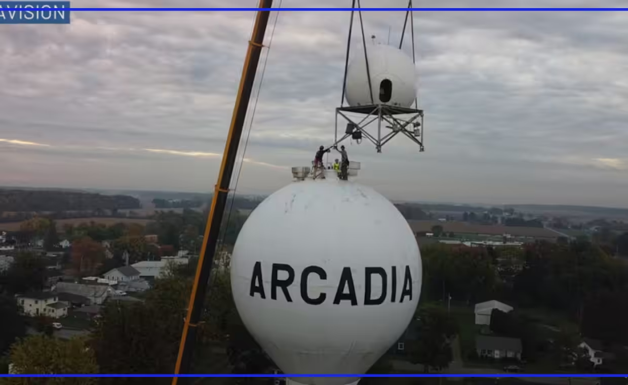
A new weather radar was installed Wednesday, Oct. 14, in Arcadia. The tool fills a longtime low-level scanning gap across northwest Ohio. Climavision built the X-band dual-pol Doppler system.
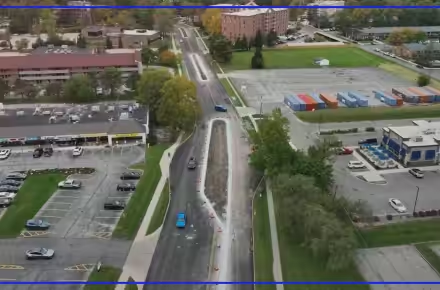
Workers placed the device atop the local water tower in northeastern Hancock County. The installation will help pinpoint incoming atmospheric threats with greater accuracy. The radar sits 155 feet off the ground.
A protective radome structure surrounds the internal equipment. The ball-shaped dome measures about 12 feet in diameter. Inside, the dish spans eight feet wide.
Existing regional radars operate out of Cleveland, Detroit, and northern Indiana. The curvature of the Earth causes those beams to overshoot low-level weather phenomena. The beams reach over 6,000 feet up, approaching two miles high in some spots.
Riley Pfeiffer serves as project manager and meteorologist for Climavision. He explained how the local positioning resolves blind spots.
“Because of Arcadia’s position in a weather radar gap, it’s the perfect spot for this weather radar to where its 60-mile range will provide the most benefit possible,” added Pfeiffer.
The unit allows detection of features like rotation and snow showers. The setup provides low-level data on snow squalls, snowstorms, tornadoes, severe straight-line winds, and heavy rainfall.
Pfeiffer noted that federal equipment remains vital to regional operations.
“The National Weather Service has a fantastic weather radar network. The best in the world,” Pfeiffer told us. “Our systems are designed to supplement and support their existing systems.”
Climavision has built 33 radars across the country so far. This Arcadia unit marks their 34th overall build. It is their first radar completed inside Ohio.
The company plans three total installations across the state. The remaining two will sit in far western Ohio and east of Columbus.
The system will come online within 30 to 45 days. Technicians will run quality control checks on all systems during that testing window.
Municipal funds were not used for the construction. The work brings no cost to the village or Hancock County.
Doppler radar networks scan the atmosphere by sending directional pulses of radio waves. These systems measure how moisture reflects signals back to the ground dish. Operators interpret that data to detect wind speed, precipitation type, and storm rotation.
The project will serve Arcadia residents and surrounding communities once operations begin.